THE SMOKY HILL CHALK:
A PHOTOGRAPHIC TOUR
Copyright © 2004-2013 by Mike Everhart
Page created 09/26/2004 - updated 10/22/2013
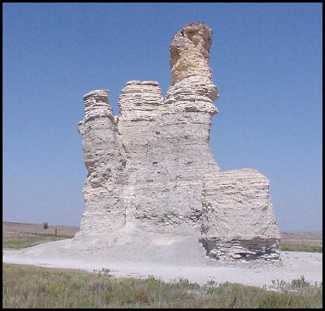
LEFT: Monument Rocks, Gove County RIGHT: Castle Rock, Gove County
|
THE SMOKY HILL CHALK: A PHOTOGRAPHIC TOUR Copyright © 2004-2013 by Mike Everhart Page created 09/26/2004 - updated 10/22/2013 LEFT: Monument Rocks, Gove County RIGHT: Castle Rock, Gove County |
|
"The ravines of the Niobrara exhibit many features in common with the cañons of the bad lands of Dakota and Nebraska, but on a diminutive scale. When a firm layer of chalky limestone overlies others of a softer texture, a narrow groove will be cut through the top, and then the wear goes on rapidly down to the level of the lower grounds. Frequently such cañons will be 100 feet long, 15 or 20 feet deep, and but 2 feet across the top, being wider below than above. These occur near each other, and then the ravines become quite labyrinthine; an intricate place for hunters or their enemies to hide. When these partitions between the cañons become detached from the hillsides and divided into sections, they stand as isolated. columns. Such are the well known Monument Rocks of the Smoky Hill Valley, in Wallace [now Logan] County, and Castle Rocks, of Ellis County. The former stand as detached pillars, 20 to 40 feet high, in the valley, at quite a distance from the nearest parent bluffs. In the latter example, at the extreme western angle, a pillar like a detached bastion stands 200 yards from the Castle, 60 or 70 feet high, and only 20 feet through the base. The top is limestone, then chalk, while the base is firm blue shale. The valley around is perfectly level. At the eastern end of the Castle several smaller pillars seem to stand as sentinels in that direction. The top of the Castle, overlooking all, is covered by 10 feet of Pliocene sandstone. The writer regrets that these fanciful rocks have not been photographed, so that twenty years later other photographs might show the rate of abrasion. Rain, frost, and the hands of ruthless men are destroying many of these unique pinnacles." B. F. Mudge (1877, p. 288). |
 |
|
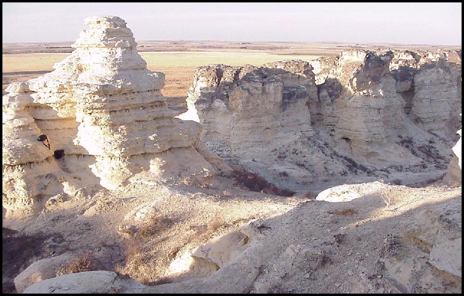 |
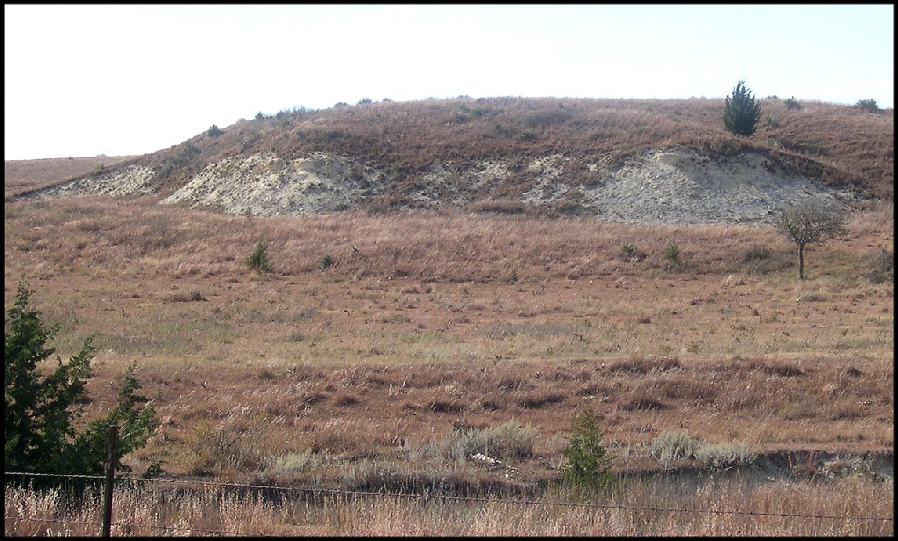
| ABOVE: Monument Rocks - South of Oakley, in western Gove County | ABOVE: Goblin Hollow - Southwest of Russell Springs in Logan County. | ABOVE: The bluffs south of "Castle Rock" - Part of the "Castle" as described by Mudge (1877 -above) |
 |
|
|
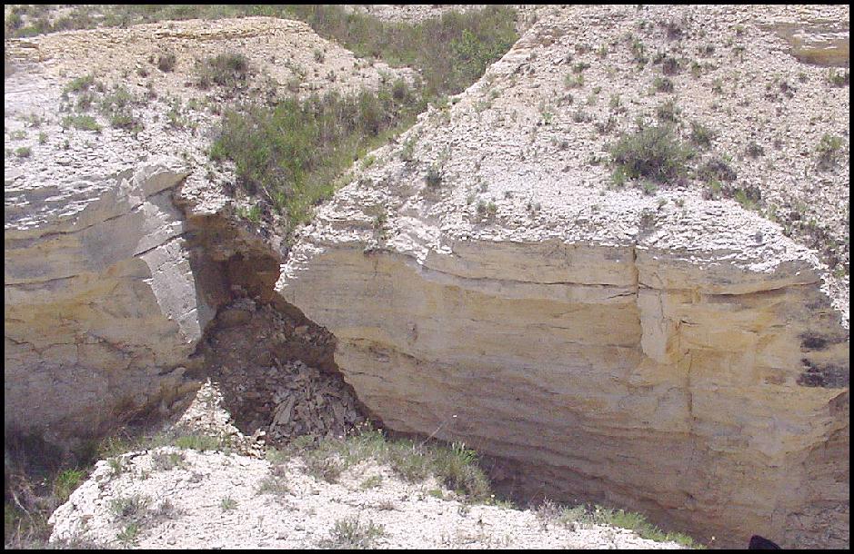
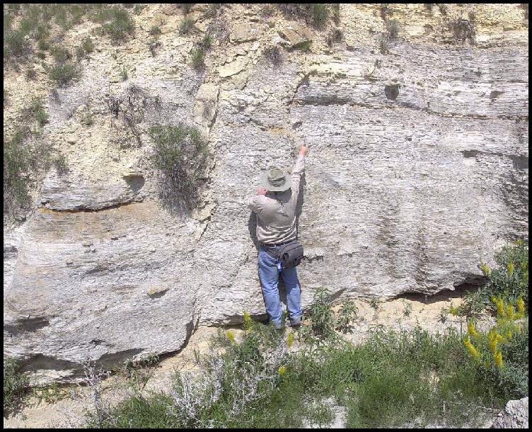
| ABOVE: A chalk exposure in Gove County that shows the weathering mentioned by Mudge in 1877. | ABOVE: Same chalk exposure from a different angle. This is the type locality of Niobrarasaurus coleii. Just above Hattin's (1982) marker unit 3. | ABOVE: Me demonstrating a fault in the chalk at Hattin's (1982) Marker unit 2. |
 |
 |
 |
 |
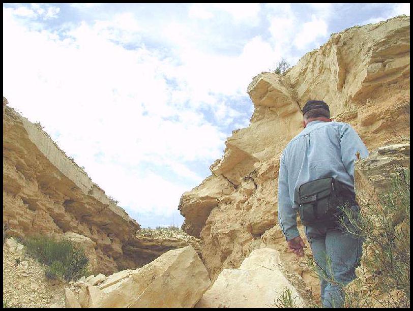
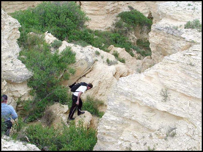
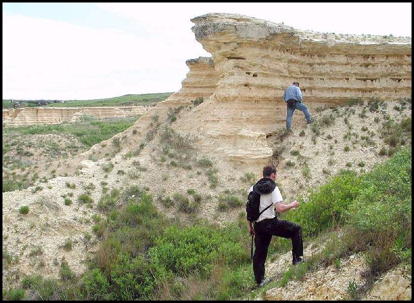
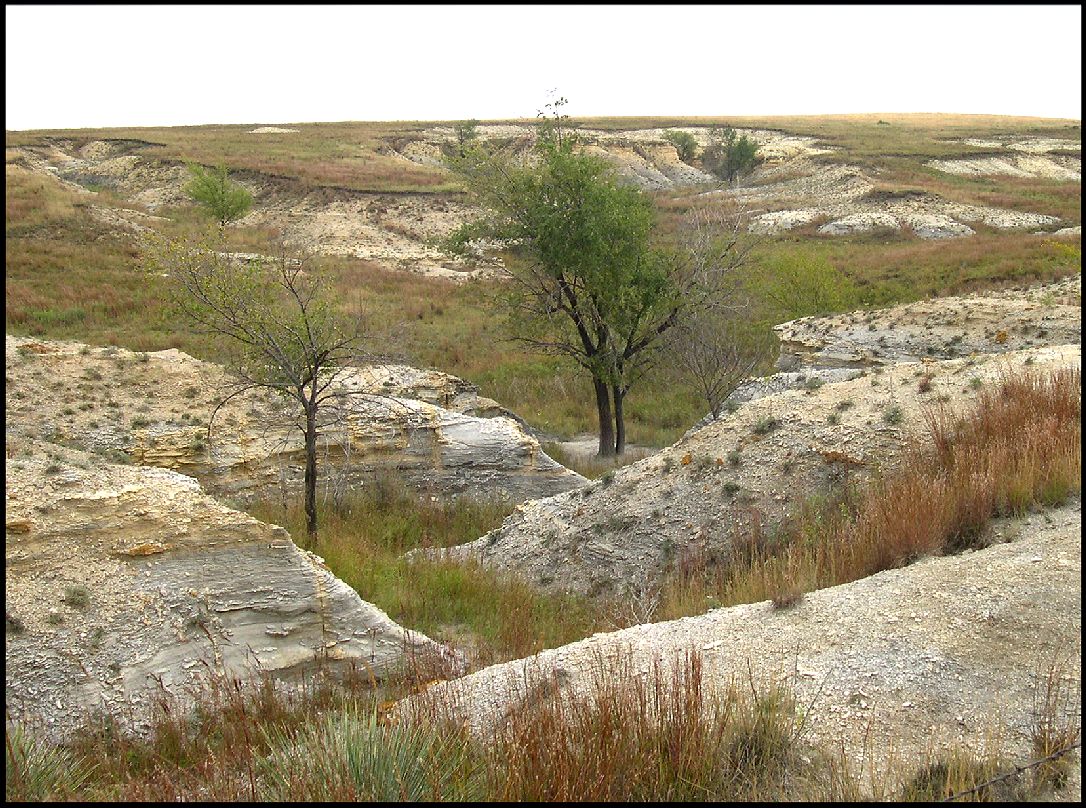
ABOVE: My son, Matt, and I explore the chalk canyons on a site in eastern Gove County. (Photographs © 2001-2004 by Geoffrey Nodkin)
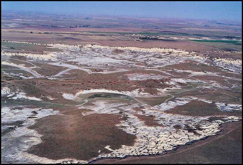 |
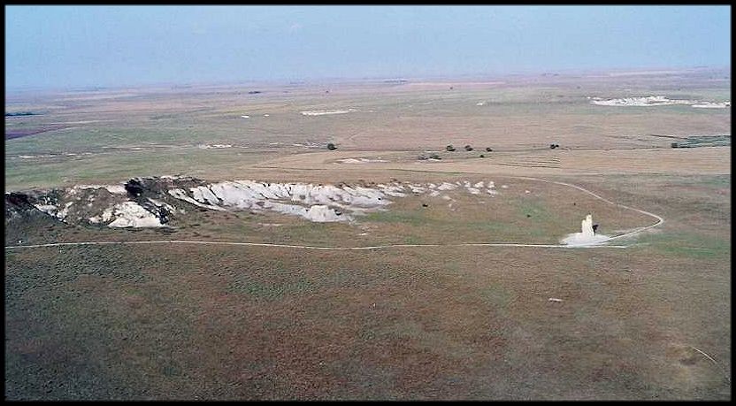
LEFT: An aerial view of our favorite collecting site in southeast
Gove County, looking southwest. RIGHT: An aerial view of Castle Rock and the bluffs to the southwest (Gove County), showing how little chalk is actually exposed compared to the surrounding grassland. |
 |
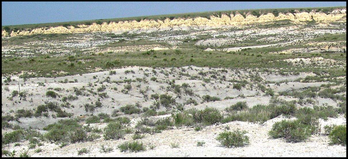 |
LEFT: A ground level view of our favorite collecting site in Gove
County, looking west. The yellow chalk bluffs at the top of the picture are the same as
those at the top of the picture above. RIGHT: Small canyons cutting into the prairie in Trego County, east of Castle Rock. |
 |
 |
LEFT: Further east in Ellis County where the lower chalk sits just
above the Fort Hays Limestone, there are fewer exposures and more vegetation, primarily as
the result of more rainfall. RIGHT: A closer view of this exposure of lower Chalk. This bluff is the probable type locality of Tylosaurus kansasensis. |
 |
Hattin, D. E. 1982. Stratigraphy and depositional environment of the Smoky Hill Chalk Member, Niobrara Chalk (Upper Cretaceous) of the type area, western Kansas. Kansas Geological Survey Bulletin 225, 108 pp.
Mudge, B. F. 1877. Notes on the Tertiary and Cretaceous periods of Kansas. pp. 277-294, in Part I (Geology) of the Ninth Annual Report, U. S. Geological and Geog. Survey Territories (Hayden), for 1875, 827 p.